


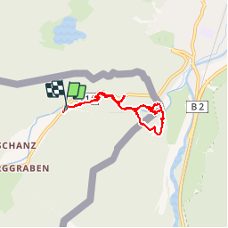


19.3 km | 29 km-effort

User


FREE GPS app for hiking
 SityTrail
IGN / Geographical institutes
SityTrail World
The world is yours!
Trail Walking of 6.4 km to be discovered at Tyrol, Bezirk Innsbruck-Land, Gemeinde Leutasch. This trail is proposed by VacheKiri67.
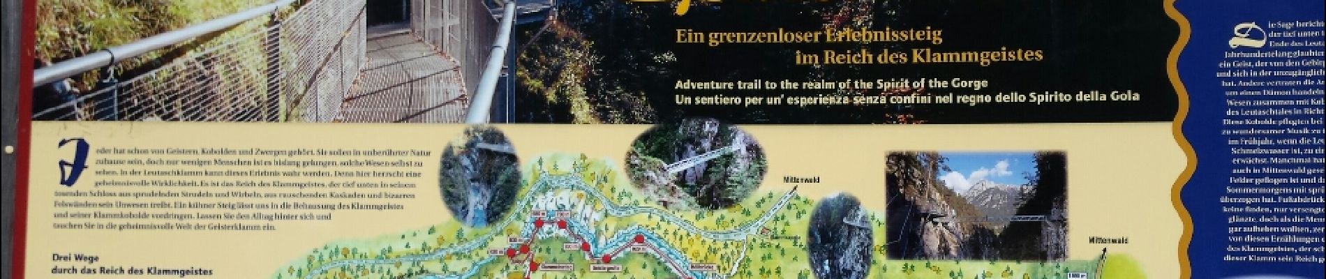
Faite le 23/07/2015 avec notre fils de 10 ans.


27 photos in total. Please click on a photo to see them all in the gallery.

Mountain bike

Cross-country skiing

Walking
Fantastique ! 2 ans de travaux pour un résultat à couper le souffle. Accès pour les enfants en toute sécurité.